
Read the railway as three different riding environments.
The historic Parenzana ran 123.1 km from Trieste to Poreč, crossing territory that today belongs to Italy, Slovenia and Croatia. A modern cyclist should not treat that number as a promise of one continuous, uniform bike trail. Surface, alignment and route character change by country.
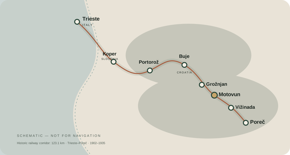
Slovenia: easier surfaces
The Slovenian section is widely associated with the D8 cycle route and is largely paved, including coastal sections around Koper, Izola, Strunjan and Portorož. This makes it accessible to a broader range of bikes than the Croatian gravel section.
Croatia: the heritage core
In Croatia, the preserved corridor is predominantly gravel. Istria Bike’s Trail 19 covers 80 km from Savudrija to Vižinada with 1,100 m climbing, 78 km macadam and 2 km asphalt. For most visitors, this is the data set to use when planning a dedicated Istrian Parenzana ride.
Do not use a schematic map as navigation
Download the current official GPX and compare it with your chosen mapping app. Trail works, detours, access and surface conditions can change. The map on this platform is designed to explain geography and destination relationships, not replace live navigation.